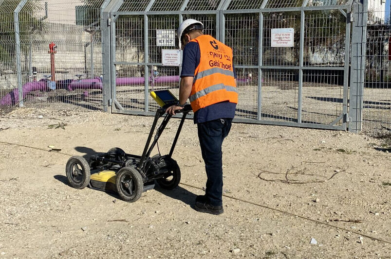
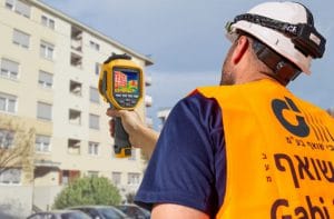
Ground penetrating radar (GPR) is a technology based on transmission of electromagnetic waves at the RF frequency into a concrete or ground element, and the reflection back to the receiver by different objects at different intensities, depending on their electrical conductivity. The technology is applicable to different types of materials such as stone, earth, ice, water, sidewalks and buildings.
Common applications:
Mapping of reinforced iron hidden in buildings
Geometric measurements of ceiling sections
Mapping and discovery of underground hidden objects
Mapping of soil layers
We provide a wide selection of mapping depths ranging from 10 cm to 10 meters.